Trier les circuits
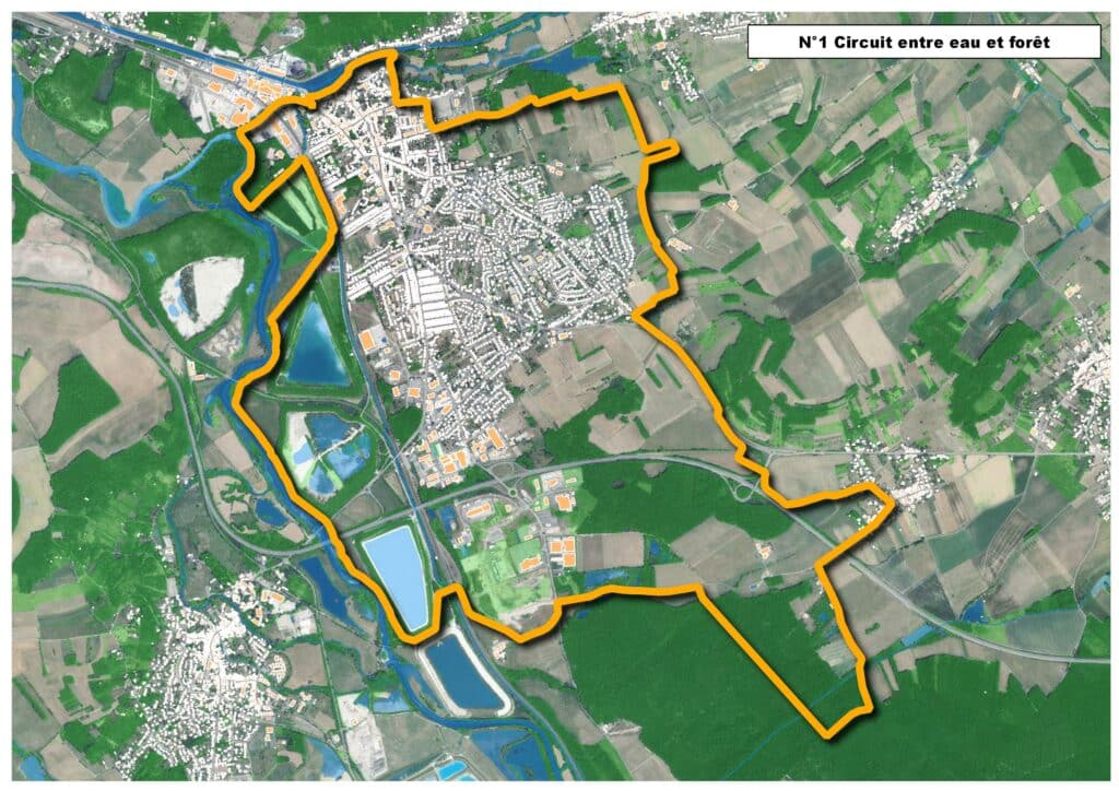
Map of the route “N°1 – Entre eau et forêt”: 18 979 m, 143 m of climbing and 143 m of descent, elevation between 205 m and 263 m, time 05:50:08. It is a loop that starts and ends at 48.62705, 6.35105 (latitude, longitude).
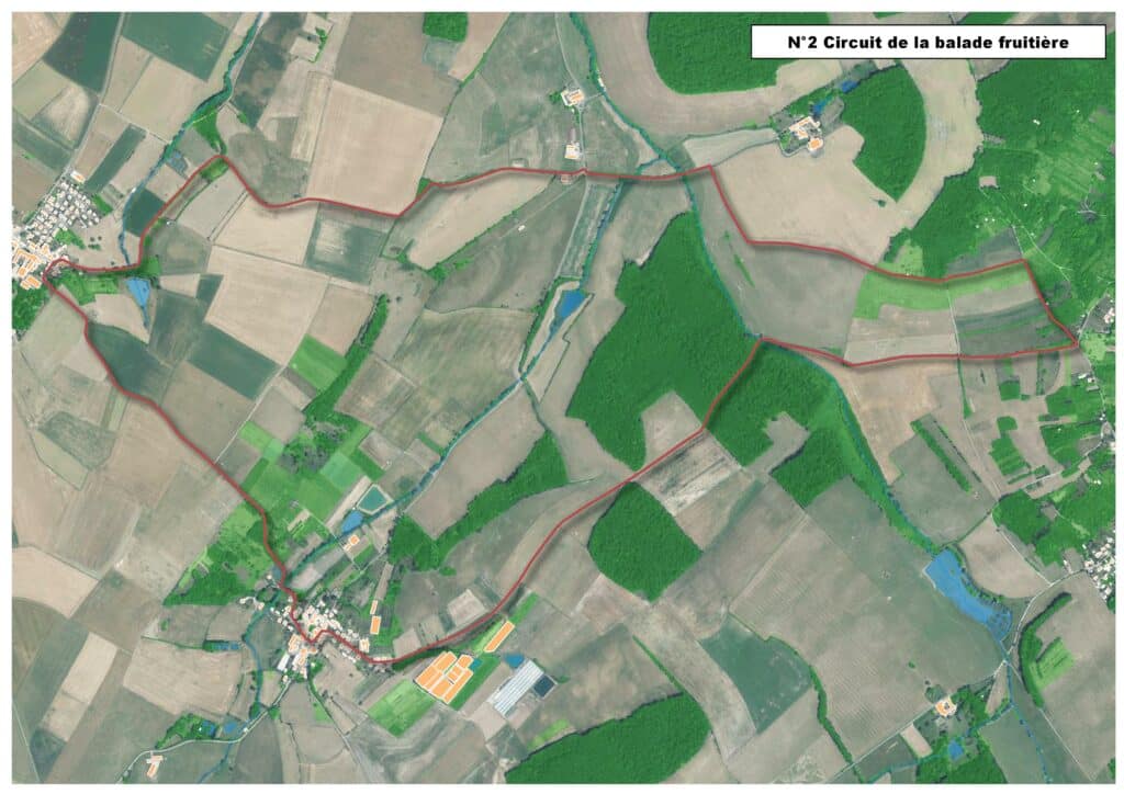
Map of the route “N°2 – La balade fruitière”: 10 592 m, 195 m of climbing and 193 m of descent, elevation between 231 m and 311 m, time 03:35:02. It is a loop that starts and ends at 48.58670, 6.28145 (latitude, longitude).
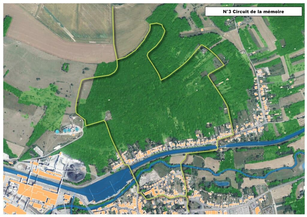
Map of the route “N°3 – Le sentier de la mémoire”: 4 045 m, 125 m of climbing and 125 m of descent, elevation between 207 m and 317 m, time 01:30:35. It is a loop that starts and ends at 48.62707, 6.35106 (latitude, longitude).
Map of the route “N°4 – Circuit de Rosières”: 4 253 m, 104 m of climbing and 104 m of descent, elevation between 210 m and 303 m, time 01:30:38. It is a loop that starts and ends at 48.59344, 6.33204 (latitude, longitude).
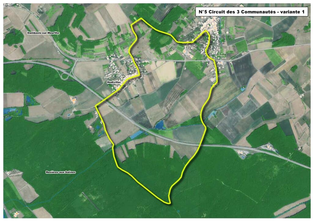
Map of the route “N°5 – Circuit des 3 communautés”: 8 569 m, 118 m of climbing and 118 m of descent, elevation between 235 m and 302 m, time 02:47:13. It is a loop that starts and ends at 48.60178, 6.39446 (latitude, longitude).
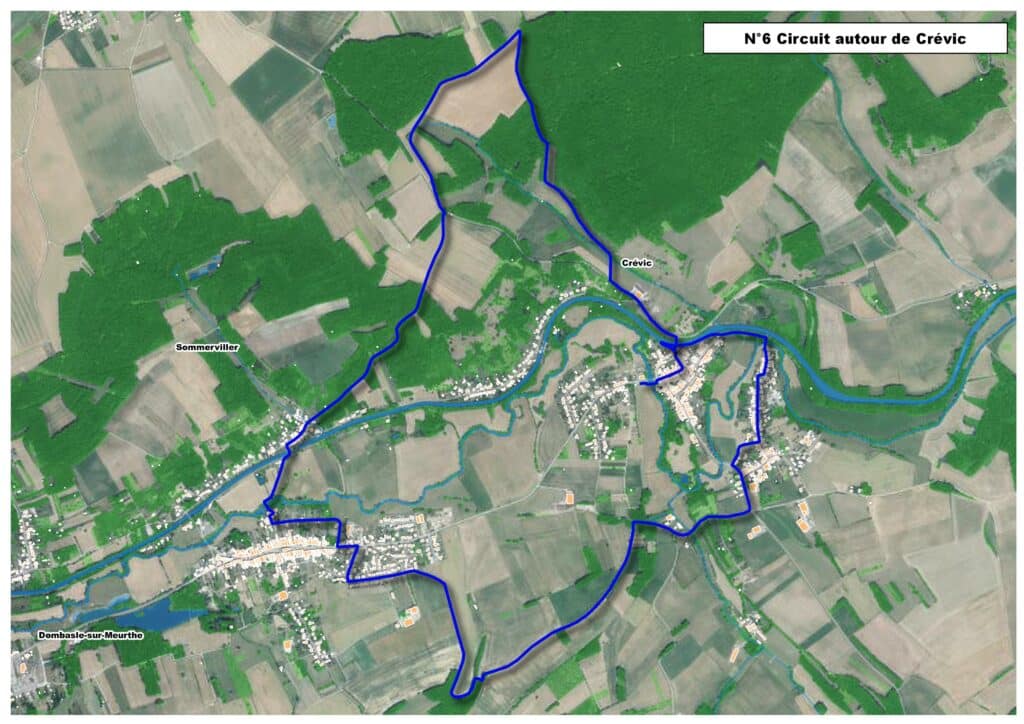
Map of the route “N°6 – Circuit autour de Crévic”: 11 736 m, 190 m of climbing and 188 m of descent, elevation between 208 m and 288 m, time 03:53:52. It is a loop that starts and ends at 48.63894, 6.40193 (latitude, longitude).